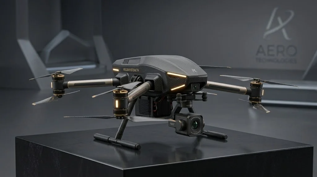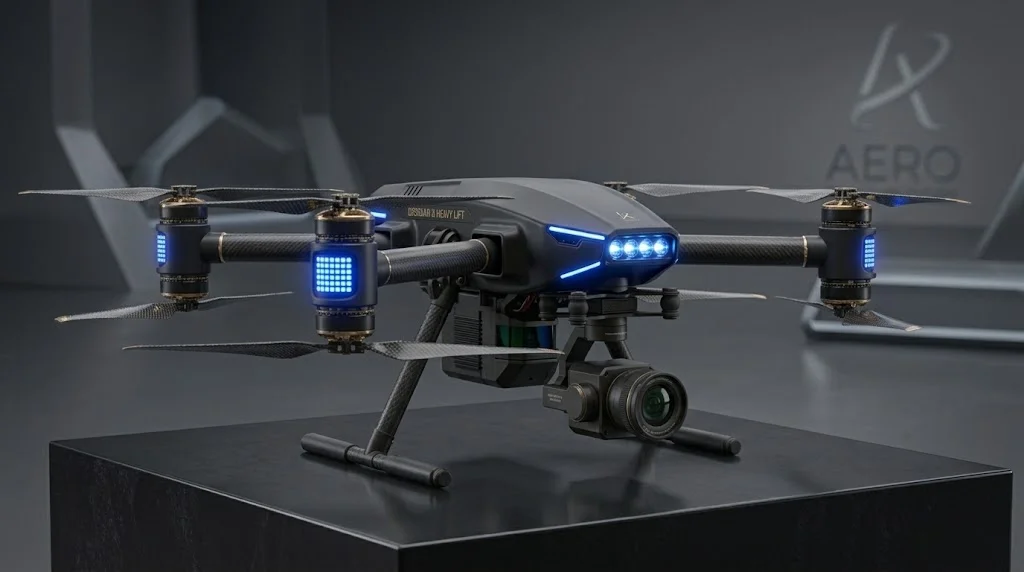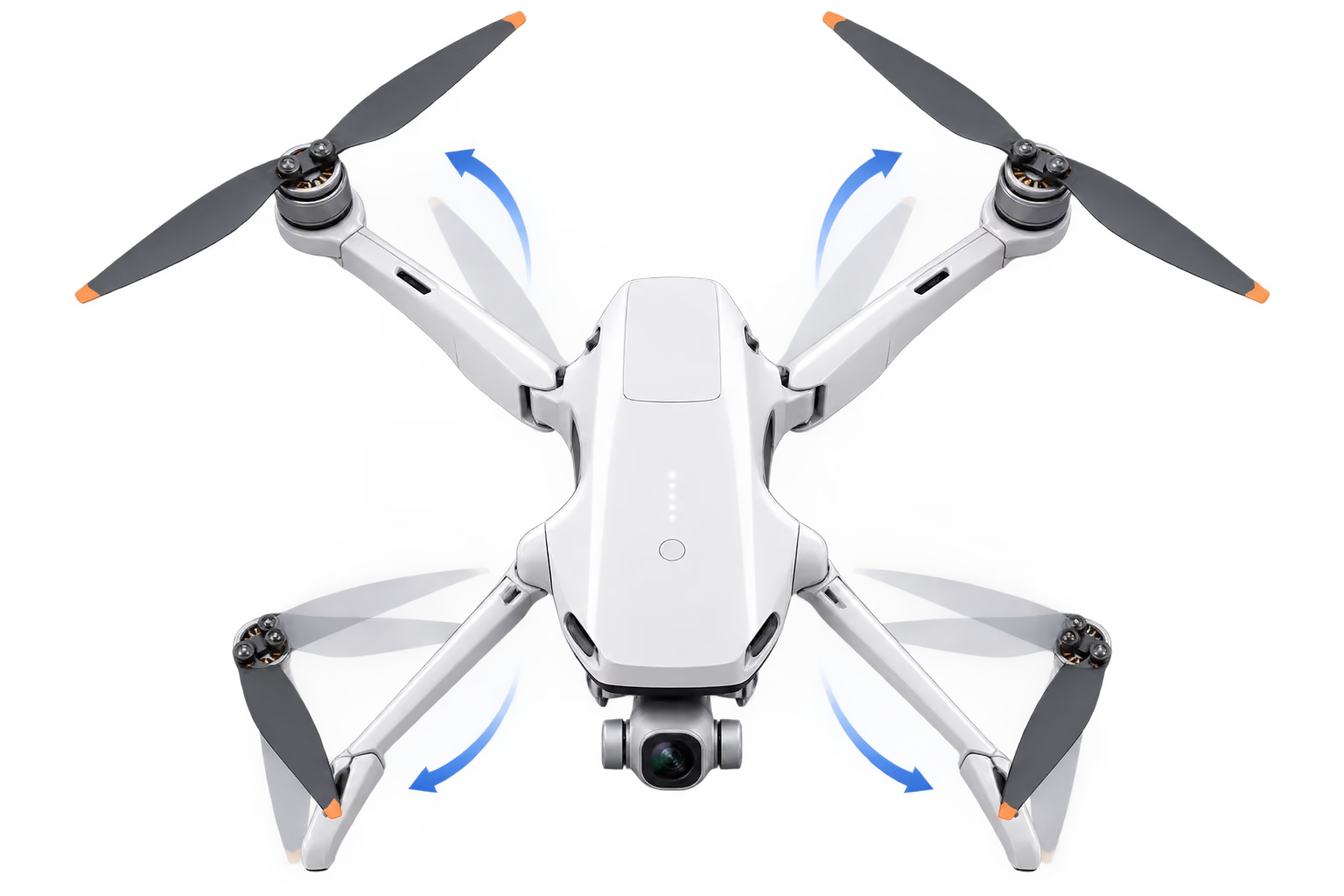
PRECISION IN MOTION


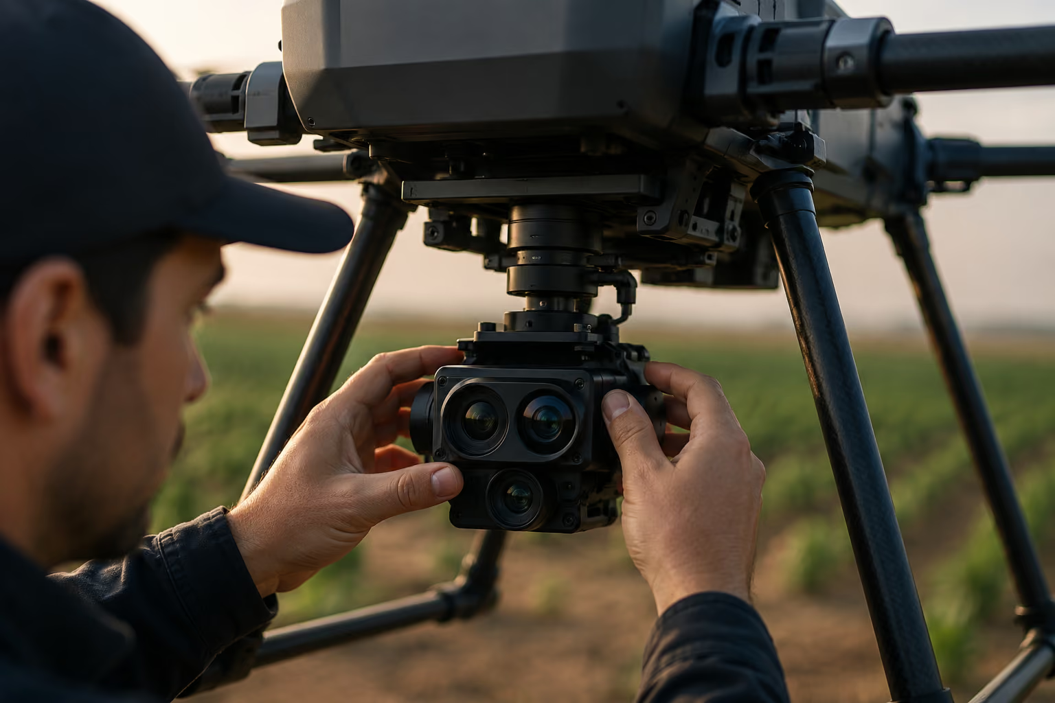
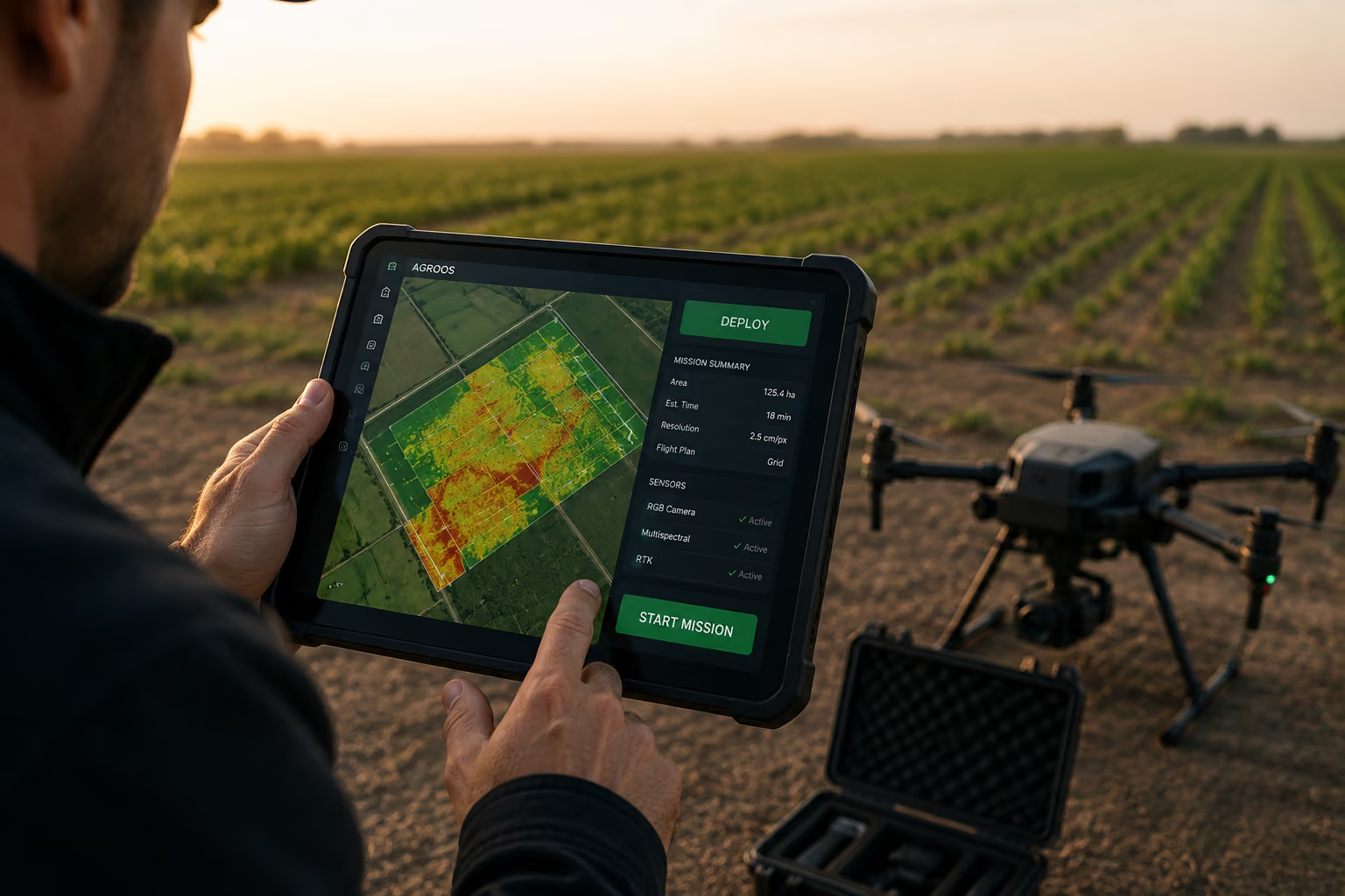
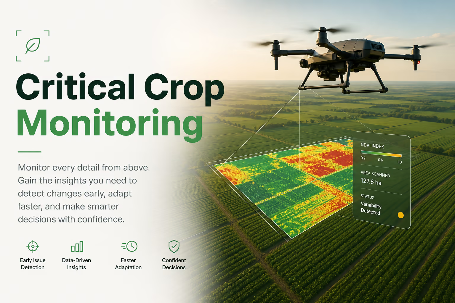
Monitor every detail from above. Gain valuable insights into crop conditions, detect changes early, adapt faster, and make smarter decisions with confidence.
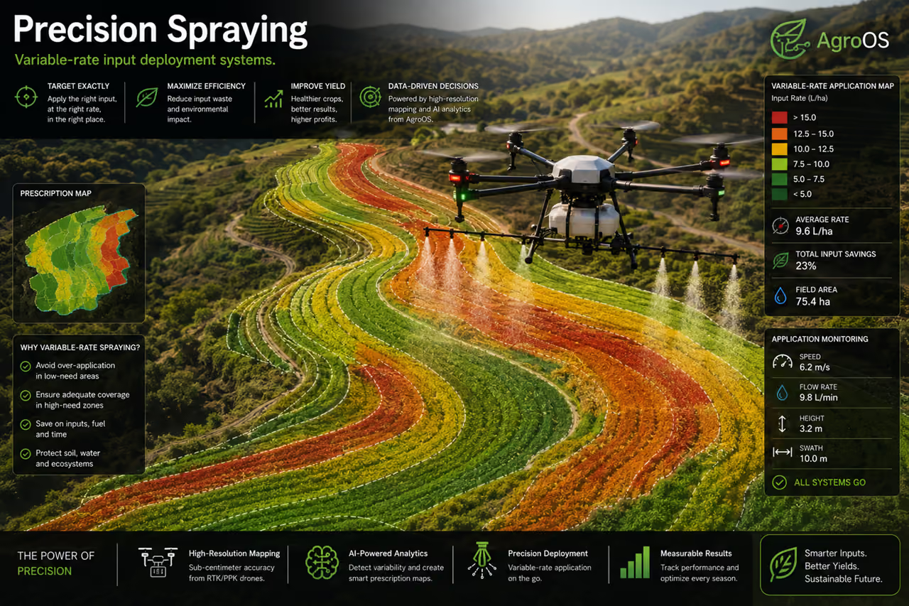
Apply the right inputs exactly where they’re needed. Use aerial data to optimize application rates, reduce waste, and deliver more targeted treatment across every field.
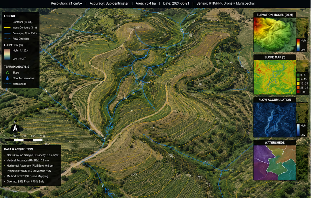
Capture highly detailed aerial imagery for precise drainage, terrain, and field analysis. Identify elevation changes, water flow patterns, and problem areas with confidence.
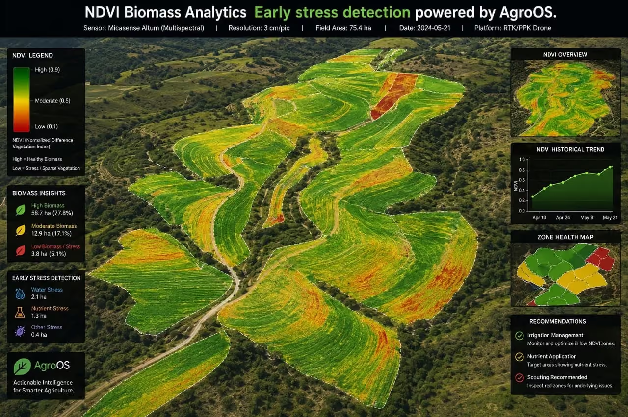
Detect crop stress before it becomes visible from the ground. AgroOS analyzes aerial data to identify early issues and help you respond faster with precise decisions.




Deploy AeroFly across your hectares.
Full setup & onboarding support in less than 48 hours.
.webp)